Photo Agency - Astronomy - Space - Nature

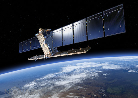
Sentinel-1 satellite - Artist view
auteur: ESA/ATG medialab/Novapix
référence: e-sot01-91005
Image Size 300 DPI: 29 * 21 cm
Sentinel-1 carries an advanced synthetic aperture radar that works in several specialised modes to provide detailed imagery for Europe’s Copernicus programme. These data will be used for applications such as monitoring the oceans, including shipping lanes, sea ice and oil spills. It also provides data to map changing land cover, ground deformation, ice shelves and glaciers, and can be used to help emergency response when disasters such as floods strike and to support humanitarian relief efforts at times of crisis. The SENTINEL-1 mission comprises a constellation of two polar-orbiting satellites, operating day and night performing C-band synthetic aperture radar imaging, enabling them to acquire imagery regardless of the weather.
Contact : Stéphane Aubin +33-(0)9-51-26-53-76
© Novapix - All rights reserved


