Photo Agency - Astronomy - Space - Nature

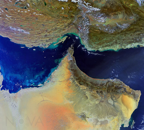
Strait of Hormuz - 02/2011
auteur: ESA/Novapix
référence: t-aseau-00011
Image Size 300 DPI: 30 * 27 cm
The south-eastern parts of Iran (top) and the Arabian Peninsula are featured in this image, acquired by Envisat’s Medium Resolution Imaging Spectrometer on 4 February 2011. The closest point between the two Middle Eastern countries is the Strait of Hormuz (centre), which links the Persian Gulf (left) with the Gulf of Oman (upper right) and the Arabian Sea (lower right). Several countries are visible on the peninsula: the United Arab Emirates (top left), Oman (tip and bottom right) and Saudi Arabia (far left and bottom).
Contact : Stéphane Aubin +33-(0)9-51-26-53-76
© Novapix - All rights reserved


