
Photo Agency - Astronomy - Space - Nature


> Earth from space gallerie
 |
 |
SlideShow Image 1455 / 2740 |  |
 |
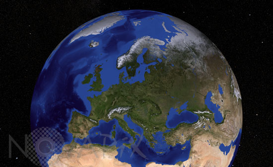
Europe from satellite
auteur: Nasa/GSFC/Novapix
référence: t-europ-00013
Image Size 300 DPI: 45 * 28 cm
Bathymetric and topographic map of Europe obtained with data from MODIS (Moderate Resolution Imaging Spectroradiometer) instrument aboard the Terra satellite. Mosaic of images taken in 2004.
Contact : Stéphane Aubin +33-(0)9-51-26-53-76
© Novapix - All rights reserved